
Unlocking Potential: The Power of Satellite Data Services Today
Explore how Satellite Data Services transform industries with real-time geospatial intelligence, market trends, benefits, and future innovations shaping the ...
Introduction
In an increasingly connected world, Satellite Data Services have emerged as a transformative force reshaping industries and enhancing decision-making globally. From monitoring climate change to enabling precision agriculture, these services provide vital insights by harnessing data captured from satellites orbiting Earth.
Understanding the scope and impact of Satellite Data Services is critical for businesses, governments, and technology enthusiasts looking to leverage advanced geospatial intelligence. This article explores the core concepts, key applications, market trends, benefits, and future outlook of Satellite Data Services, shedding light on their indispensable role in today’s digital ecosystem.
Technology & Concept Overview
Satellite Data Services refer to the collection, processing, and distribution of data obtained from satellites equipped with various sensors and imaging technologies. These services enable users to access precise information about Earth's surface, atmosphere, oceans, and more.
The core technology includes remote sensing satellites that capture imagery across electromagnetic spectra—visible light, infrared, radar, and multispectral bands. Key terms often associated with Satellite Data Services include:
- Remote Sensing: Acquiring information about an object or area from a distance, typically via satellites or aircraft.
- Geospatial Data: Data that is associated with geographic locations.
- Imagery Analytics: The use of AI and machine learning to interpret satellite images for actionable insights.
- Data Downlink: The process of transmitting satellite data from space to ground stations.
Satellites operate in various orbits—low Earth orbit (LEO), medium Earth orbit (MEO), and geostationary orbit (GEO)—each offering different data resolution and revisit times. This technological foundation allows Satellite Data Services to supply near-real-time data critical for many applications.
Industry Applications & Use Cases
The versatility of Satellite Data Services spans multiple sectors, delivering valuable intelligence and enhancing operational efficiency.
- Agriculture: Precision farming leverages satellite imagery to monitor crop health, optimize irrigation, and predict yields. Companies like Climate Corporation utilize satellite data to provide farmers with actionable insights, improving productivity and sustainability.
- Environmental Monitoring: Agencies track deforestation, glacier retreat, and natural disasters using satellite data. The European Space Agency’s Copernicus program is a prime example, offering open-access environmental data for climate science and disaster response.
- Urban Planning & Infrastructure: City planners analyze satellite imagery to manage land use, monitor urban sprawl, and assess infrastructure conditions efficiently.
- Oil & Gas Exploration: Satellite data helps in surveying remote regions, monitoring pipeline integrity, and assessing environmental risks, reducing operational costs and improving safety.
- Maritime Surveillance: Satellite AIS (Automatic Identification System) data tracks vessel movements, enhancing maritime security and logistics management.
One notable success story is Planet Labs, which operates a large fleet of small satellites providing daily global imagery. Their data has empowered sectors from agriculture to disaster response by enabling timely, informed decisions.
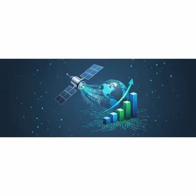
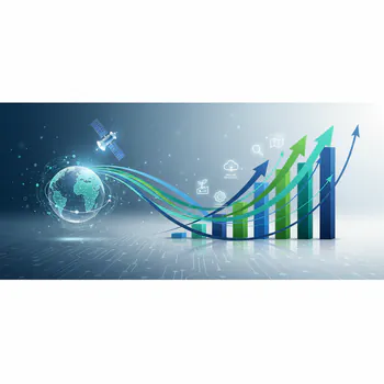
Market Trends & Growth Drivers
The Satellite Data Services market is experiencing rapid growth, fueled by technological advancements and expanding demand for geospatial intelligence.
According to a recent report by MarketsandMarkets, the global satellite imagery market is projected to reach over $7 billion by 2027, growing at a CAGR of approximately 12% between 2022 and 2027. Contributing factors include:
- Miniaturization of Satellites: The rise of small satellites (smallsats) and CubeSats has lowered launch costs and increased data availability.
- Advancements in AI & ML: Enhanced image analytics streamline data processing and interpretation, making insights more accessible.
- Commercialization & Private Sector Involvement: Increased investment from private companies has broadened the range of services and applications.
- Government Initiatives: Programs promoting open data access and international collaboration amplify the use of satellite data worldwide.
These trends collectively drive the expansion of Satellite Data Services into new markets and use cases, establishing them as a cornerstone of modern data ecosystems.
Market Trends & Growth Drivers
Benefits & Advantages
Satellite Data Services offer multiple compelling benefits for businesses and governments alike:
- Comprehensive Coverage: Unlike terrestrial sensors, satellites provide wide-area, often global, coverage, including remote or inaccessible regions.
- High Frequency & Timeliness: Frequent revisits enable real-time or near-real-time monitoring critical for disaster management and dynamic environments.
- Cost-Effectiveness: Compared to traditional ground surveys and aerial imaging, satellite services reduce costs by automating data collection at scale.
- Actionable Insights: Integrated analytics transform raw data into meaningful intelligence, enhancing operational decision-making.
- Competitive Edge: Early adopters gain advantages in resource management, risk mitigation, and market positioning through superior data-driven strategies.
For instance, companies using satellite data for precision agriculture have reported yield improvements of up to 20% and significant reductions in water and fertilizer usage, underscoring the ROI potential of these services.
Challenges & Future Outlook
Despite its advantages, Satellite Data Services face several challenges:
- Data Volume & Complexity: The sheer amount of data generated requires robust infrastructure and expertise to manage and analyze effectively.
- Cloud Cover & Environmental Factors: Optical imagery can be hindered by weather conditions, though synthetic aperture radar (SAR) satellites help mitigate this limitation.
- Regulatory & Privacy Concerns: Data sharing and security present ongoing legal and ethical questions.
- High Initial Investment: Although costs are decreasing, initial satellite deployment and data acquisition investments remain significant.
Looking ahead, innovations in satellite technology, such as the deployment of mega-constellations with hundreds of satellites, coupled with enhanced AI-driven analytics, are expected to revolutionize Satellite Data Services further. We anticipate expanded accessibility, improved resolution, and new applications in areas like autonomous vehicles, smart cities, and environmental conservation.
Conclusion
Satellite Data Services have become indispensable in the digital age, offering comprehensive, timely, and actionable geospatial intelligence across diverse industries. By understanding their technology, applications, market dynamics, and challenges, organizations can better harness these services to drive efficiency, sustainability, and innovation.
As the sector evolves, staying informed about emerging trends and investing in scalable data analytics capabilities will be key to unlocking the full potential of Satellite Data Services. The future promises even greater integration of satellite data into everyday decision-making, empowering businesses and governments to navigate complexity with confidence and foresight.
Need More Details on Market Players and Competitors?
Tagged in